
Walk an Acworth Street Address
Begin with the present parcel, not a surname. Cobb County keeps the main address records for incorporated Acworth. The assessor connects the physical address to a parcel ID, owner mailing address, legal description, tax district, values, exemptions, and deed references. Those stable keys can be carried into other systems. A postal city alone is weaker because Acworth mail reaches beyond the city boundary.
Use a fixed street-by-street sequence:
- Enter house number and street in the Cobb property search, omitting unit, city, state, and ZIP.
- Open Cobb GIS, select the lot, and record its parcel ID and legal description.
- Compare situs and owner mailing addresses, tax district, and homestead status.
- Carry the owner, deed reference, street, or land description into the Superior Court Clerk index.
- Add voter, permit, and reverse-directory evidence only for the period each source covers.
Matching mailing and situs addresses can support owner occupancy. Homestead is stronger evidence for its tax year. Neither field names renters, relatives, or every person at the address.
Format Acworth Street Searches
Cobb's exact-address form asks for only two values. Do not enter an apartment, city, state, or ZIP. That rule prevents a postal-city mismatch from blocking a valid Cobb parcel. If the entry fails, confirm the suffix and direction, then inspect the road in GIS instead of guessing a name.
| Field | Format | Use |
|---|---|---|
| House Number | Numeric street number | Targets one situs |
| Street | Name and needed suffix | Matches the address repository |
| Search Property Records | Submit | Opens parcel results |
A parcel card may show parcel ID, owner, mailing and situs addresses, tax district, legal description, acreage, building data, exemptions, values, sales, and deed references. The Tax Assessor values land; the Superior Court Clerk records title. Treat the recorded deed as the stronger ownership document.
Acworth Street Directory Sources
No one roll answers every address question. A sound street directory states what each record proves and what it omits. Parcel data show an assessed owner. A deed documents recorded parties and land. Voter data cover registered electors. Permits identify work and applicants.
| Source | Keeper | Address evidence | Access |
|---|---|---|---|
| Parcel card | Cobb Tax Assessor | Owner, situs, mailing, exemption | Free web or counter |
| GIS parcel | Cobb GIS | Lot, road, neighbors, layers | Public viewer |
| Deed or plat | Cobb Superior Court Clerk | Parties, dates, book/page, land | Portal, counter, mail |
| Voter file | Georgia SOS | Registered voters in street fields | Paid lawful order |
| Permit file | Acworth Development | Applicant, contractor, work | Self-service or JustFOIA |
| Reverse directory | Switzer/DLG | Listed householders by street | Scans and library |
The chain usually runs from parcel ID to deed reference to recorded image. Street name connects permits and later reverse guides. For a certified deed or uncertain result, use the Real Estate Division counter at 10 East Park Square, Building C, Marietta.
Map Acworth Streets by Parcel
Cobb GIS turns one address into a road segment. Search the target, zoom to parcel polygons, select the lot, and copy its ID. Pan along the road and click each next parcel. Send every exact address or ID back to assessor detail. This avoids the false assumption that one ZIP or spelling captures all lots.
Map context may include aerial imagery, roads, zoning, flood areas, and government districts, depending on live settings. These layers describe land and jurisdiction, not household members. The Acworth Development page routes city mapping and planning questions.

The pictured city resource complements Cobb's parcel viewer. Acworth handles city development, while Cobb remains the assessor and land-record custodian.
Search Acworth Deeds by Street
Cobb Landmark has a direct Street Name mode from January 1, 1999 forward. Street Name is required. Optional fields include number, direction prefix or suffix, street suffix, unit, city, date range, book type, start dates, and referenced name. That makes it the strongest modern whole-street document search.
Results commonly identify parties and roles, instrument type, recording date, book/page or instrument number, legal-description references, and image status. The image can add return-to address, witnesses, preparer, and full land description. A hit proves recording, not residence.
Open the Landmark real-estate portal and accept its official-record warning.
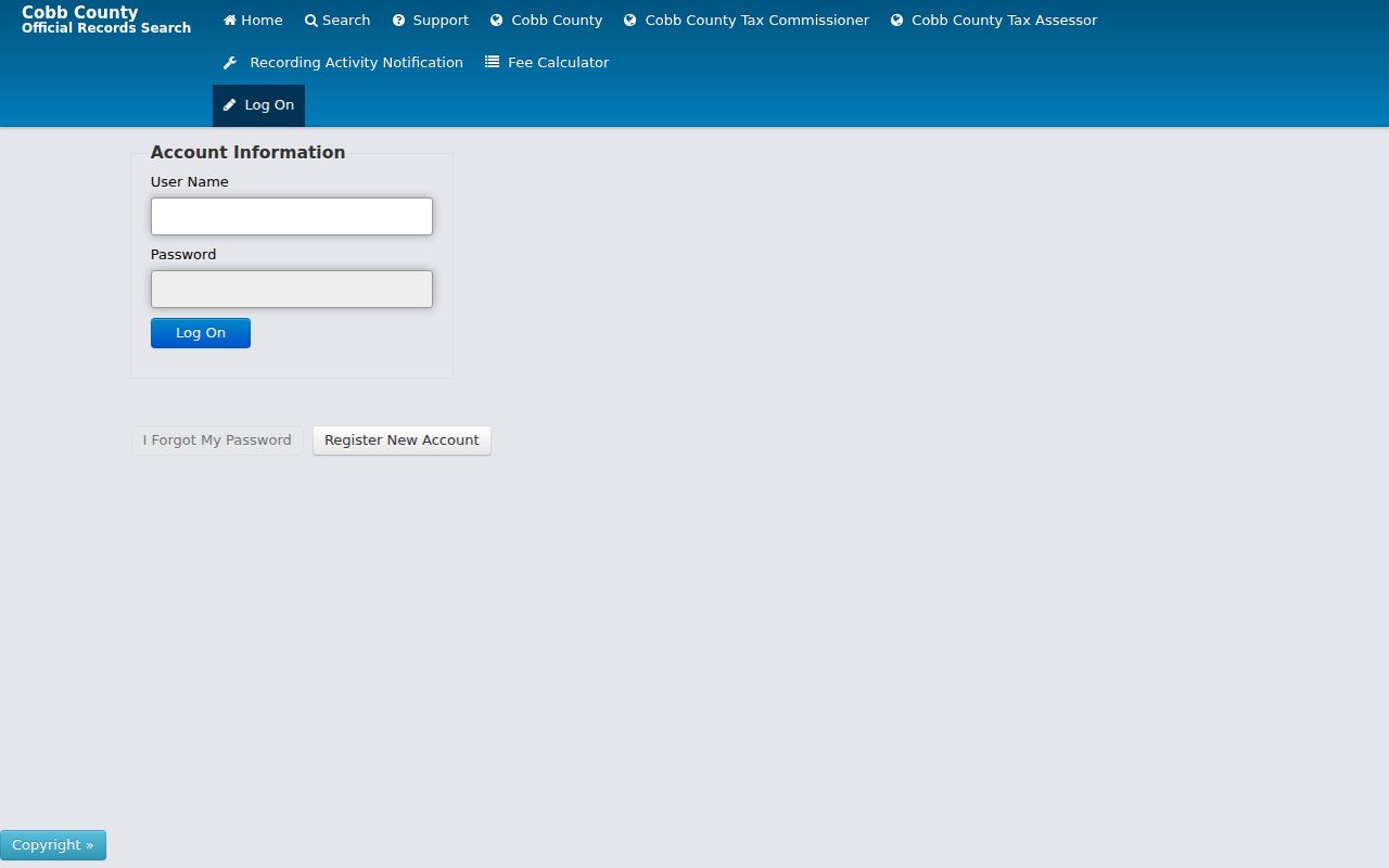
The online index is a finding tool. Originals held by the Real Estate Office control when entries conflict.
- Parcel
- A mapped unit of land with a county identifier.
- Situs address
- The physical parcel location, separate from mailing address.
- Plat
- A recorded map of lots, blocks, roads, and survey details.
- Criss-cross directory
- A directory arranged by street and number.
Move Before Acworth Street Indexing
Before the 1999 Street mode boundary, switch from postal address to legal land keys. Use district, land lot, subdivision, block, lot or unit, plus names and dates. Search the current seller as an earlier grantee, the party who received property, and repeat backward.
The portal's Book Start Dates control governs each series. No single earliest online year is published. If a book is unavailable, call the Deed Room at (770) 528-1328, visit the Marietta counter, or use Georgia Archives county microfilm cards. Search spelling variants, as Landmark advises.
Acworth and Cobb have 1864 loss stories, but Archives warns that a disaster does not mean every book vanished. Check each series before calling the record trail lost. This local story makes a book-and-page citation more useful than a blanket assumption.
Acworth Permits Add Street Detail
Permits can date physical work. Acworth forms cover building, demolition, additions, remodels, trades, zoning, variance, annexation, and subdivision. A file may name the owner, applicant, contractor, work, value, and address, subject to redaction.
Start with the Acworth permit library.
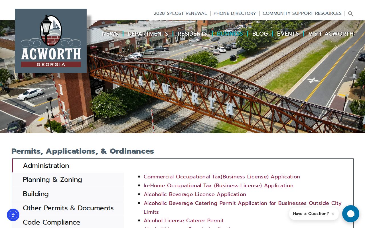
If an old permit jacket is missing online, request the existing series through JustFOIA with street, parcel ID, and dates. Georgia law does not make the city compile a new resident list.
Note: A named contractor or applicant is tied to work, not automatically to residence at that address.
Acworth Voter Rows by Street
My Voter Page verifies one person through identifying fields and cannot browse a street. A lawfully ordered voter file has decomposed residence number, street, unit, city, and ZIP columns. It covers registered electors only and omits protected true addresses.
A municipality file costs $65, Cobb County $70, and statewide data $485. Normal processing is two weeks, and commercial use is prohibited. Cobb Elections also accepts requests online, by mail, or in person at 995 Roswell Street NE, Marietta. Staff time after the first 15 minutes may be charged. Use its records-request channels for retained material.
The cost and limits matter. Sorting official rows can support lawful family or civic work, but the result is never a full Acworth household roll.
Keep the file date with each row. Registration status, contact dates, and districts can change, and a move may occur before the next public update. Georgia does not register voters by party. A “Last Party Voted” field records primary participation and never reveals a ballot choice. Month and day of birth, Social Security number, email, driver-license number, and registration-application location are withheld. Original applications are closed without a court order. These limits protect sensitive facts and explain why voter data remains one dated layer, not the final word on who occupies an Acworth address.
Reverse Historic Acworth Streets
Regional directories confirmed for 1968, 1969, 1970, and 1977 include street-and-avenue guides. The 1949 and February 1973 telephone books add subscriber snapshots. Read nearby lines around an exact address, then compare them with the 1930 Sanborn map and an open census schedule.
These volumes omit non-subscribers and many family members. OCR is uncorrected, so inspect the scan. The Acworth city directory collections cover publishers and shelves without duplicating that history here.
Historic limits changed from a half-mile depot radius in 1860 to one mile in 1870. Early Acworth may mean a community or postal place, not today's boundary.
Resolve Postal Acworth Boundaries
Acworth mail can occur in Cobb, Cherokee, Paulding, or Bartow, while incorporated Acworth lies in Cobb. Some city parcels use Kennesaw mail. ZIP 30101 or 30102 therefore cannot select a government office. Check tax district, parcel map, and city limits first.
A tax district marked “Unincorporated Cobb” can disprove a city claim based on mail. Legal descriptions survive postal changes. Planning names such as Historic, Parkside, and Mill District are context, not legal resident rolls.
Note: Situs identifies the land, mailing identifies delivery, and the recorded legal description controls the parcel identity.
Acworth Street Directory Limits
A street directory can document owners, recorded parties, registered voters, applicants, and listed subscribers. It cannot reveal every renter, relative, child, guest, or other household member. Utility lists are not public household directories. Driver addresses are federally restricted. VoteSafe and Safe at Home protect qualifying addresses.
Use records lawfully. Acworth address records support property, family, civic, and safety research. Never use them to stalk, harass, intimidate, or harm anyone.
Use exact labels such as tax owner, registered voter, and permit applicant. Commercial lookup categories can merge stale names, while official sources expose dates and custodian context. If a portal fails, use its counter, phone, mail, library, archives, or a focused Georgia Open Records Act request.